Clearwater Beach, FL:
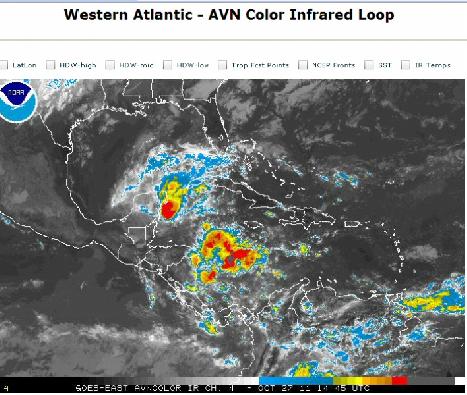
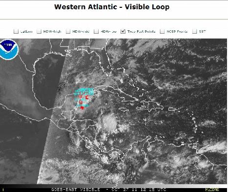
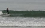
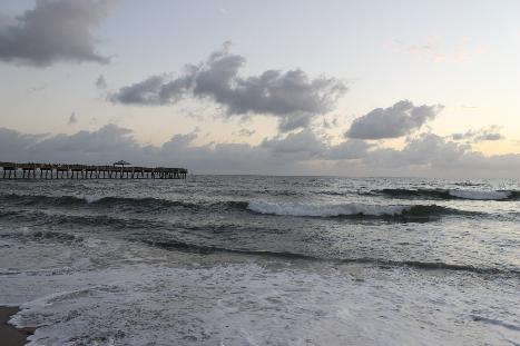
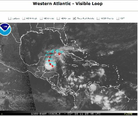
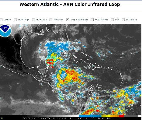
as rina fades from view we do have a front coming thru late friday so we could have some surf saturday thats what the swell chart is showing.i hope so.
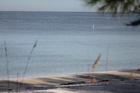
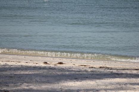
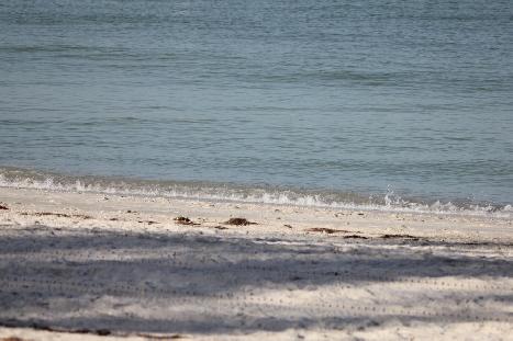
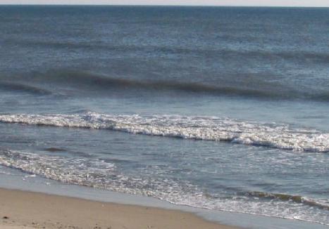
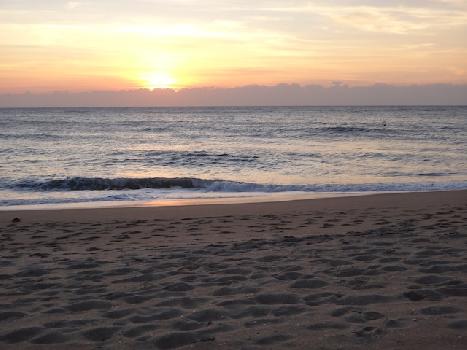
flat
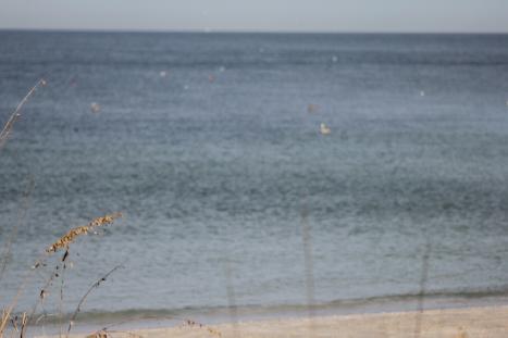
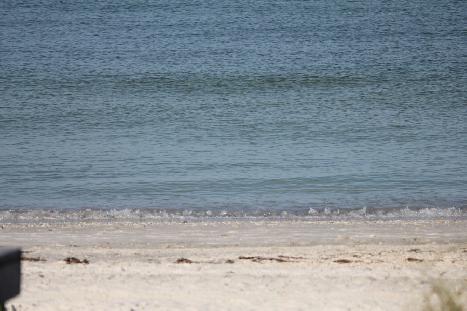
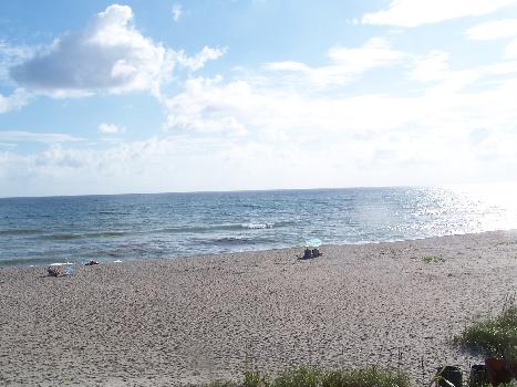
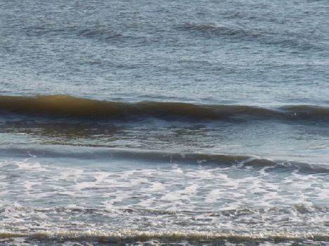
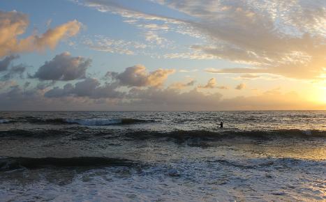
Clean
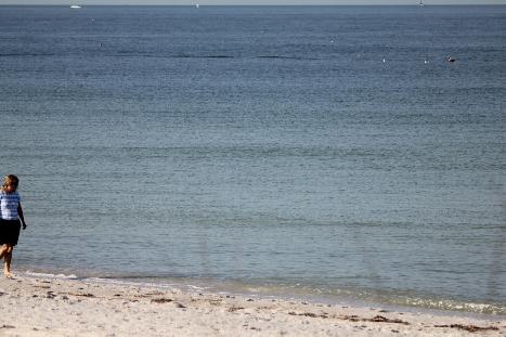
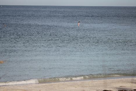
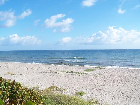
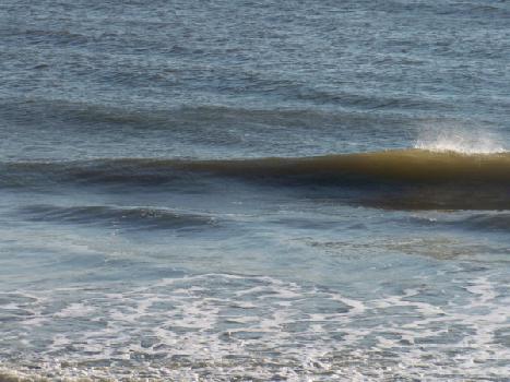
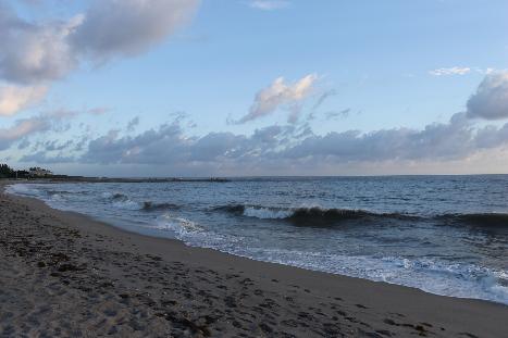
Not Today