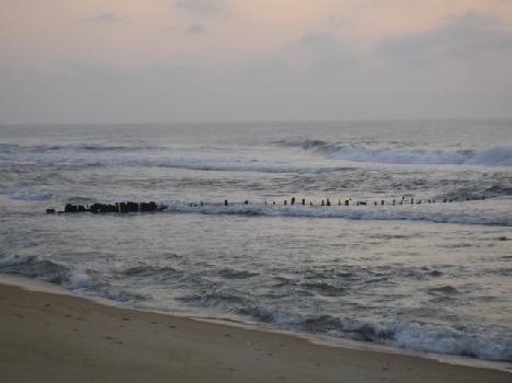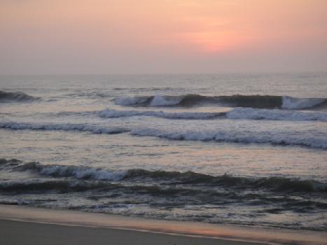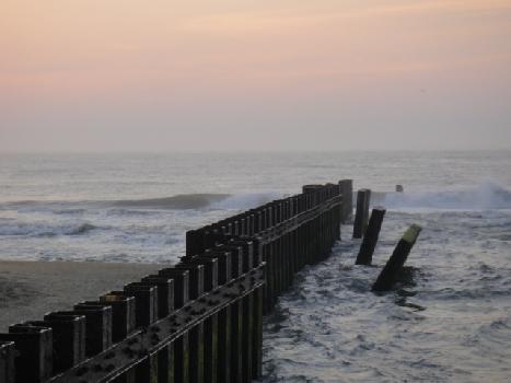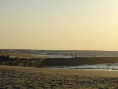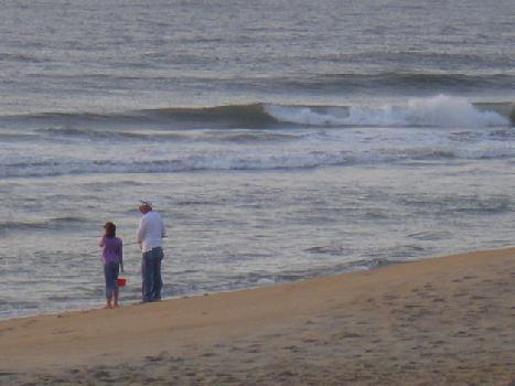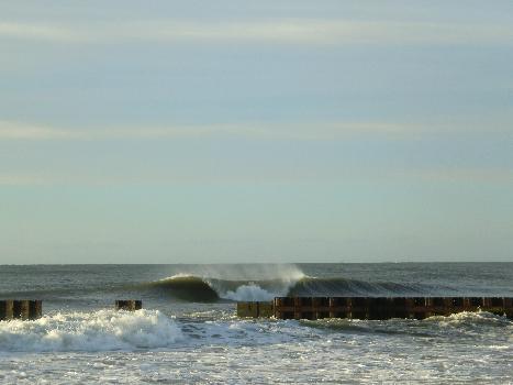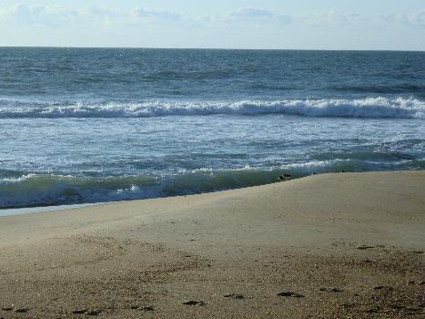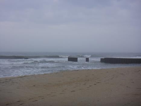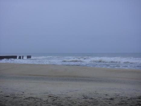
Cape Hatteras, NC:
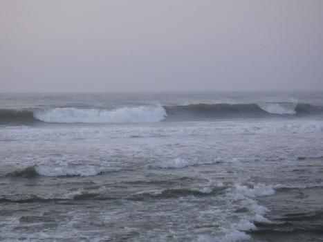
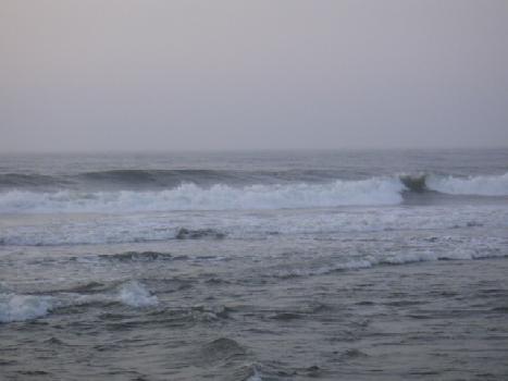
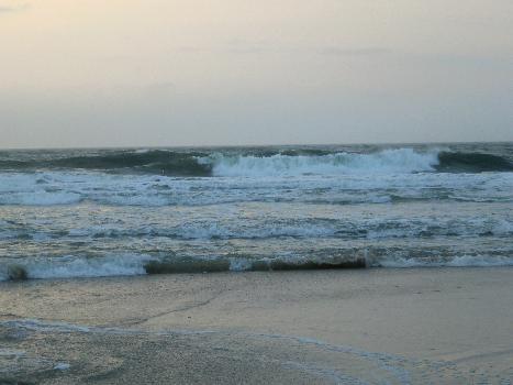
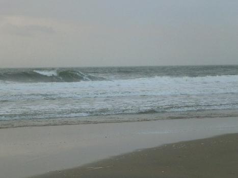
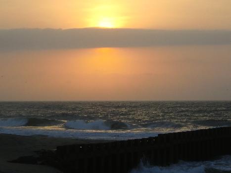
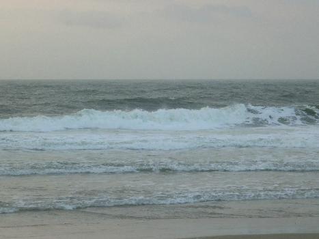
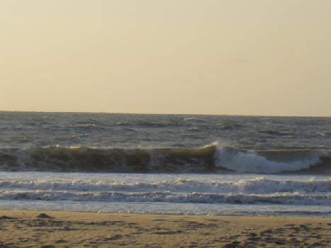
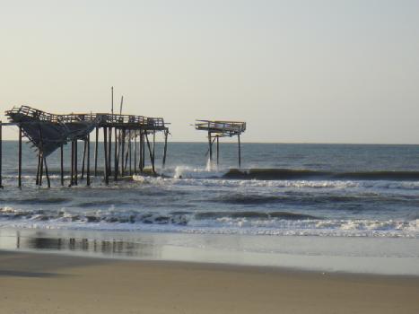
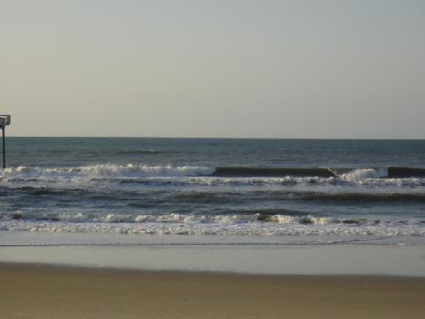
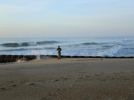
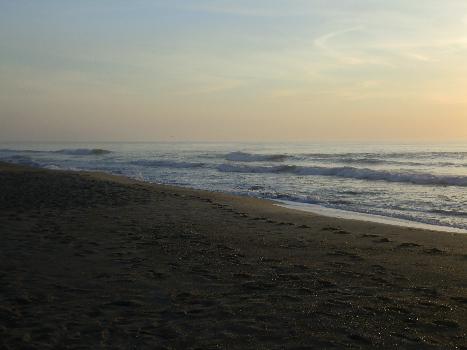
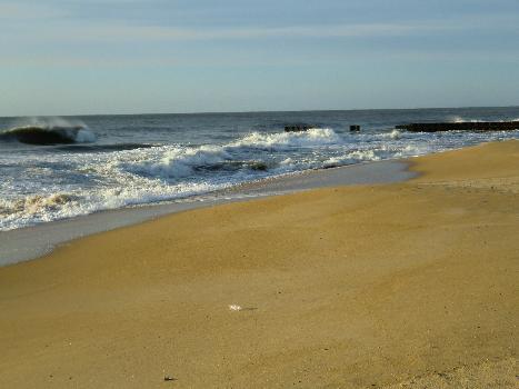
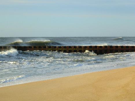
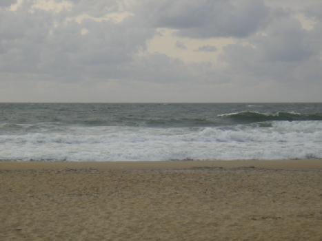
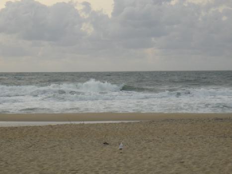
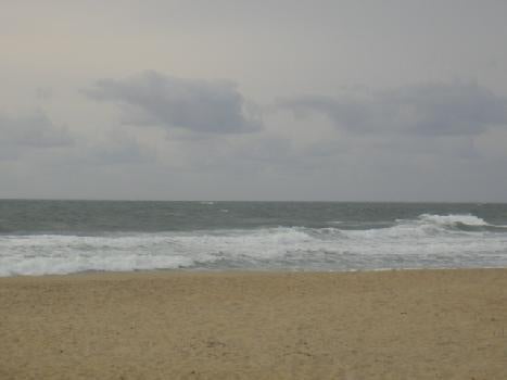
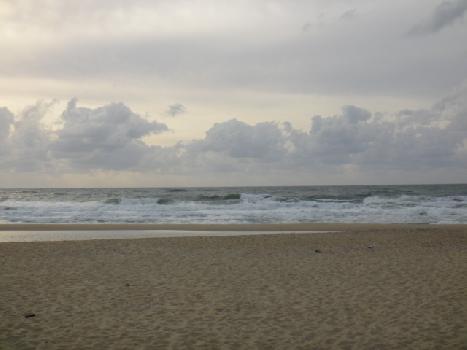
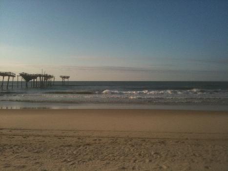
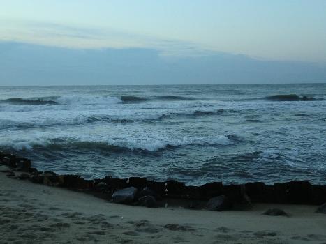
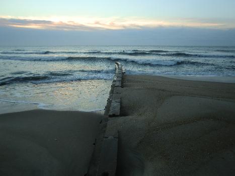
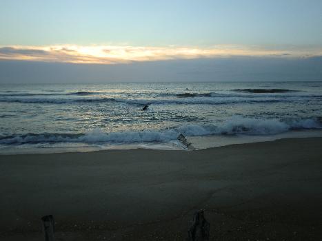
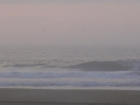
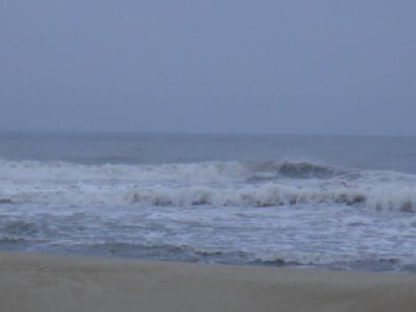
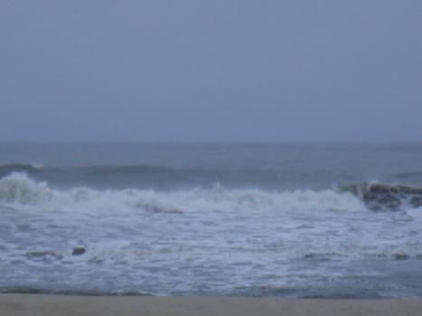
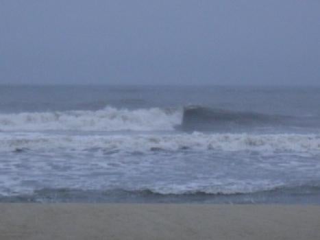
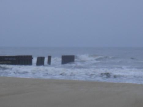
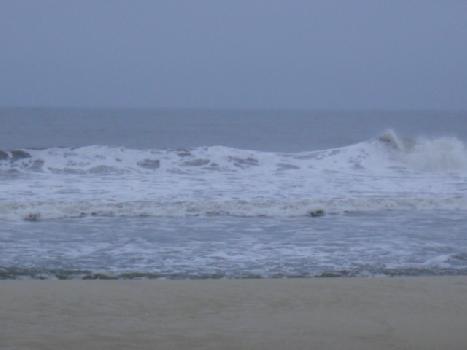
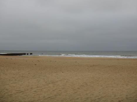
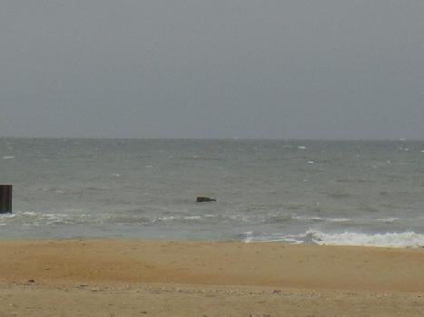
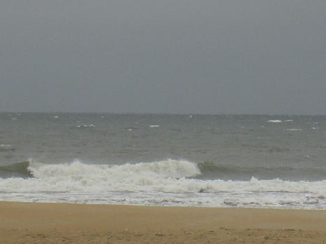
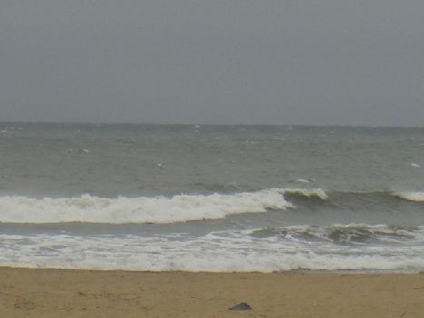
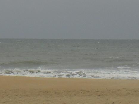
looks like the swell is coming from more than one direction. it's sloppy and unorganized. wind forecast is for south at 10 to 15 mph. maybe the incoming tide will help it a little?
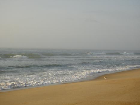
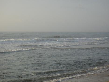
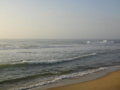
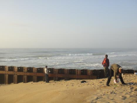
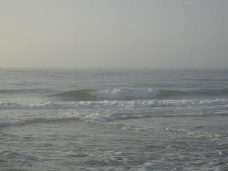
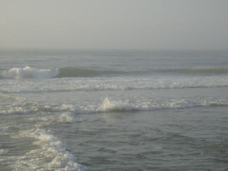
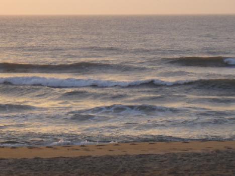
3+ ft
Semi Choppy
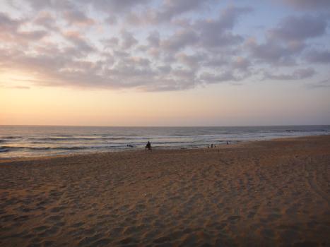
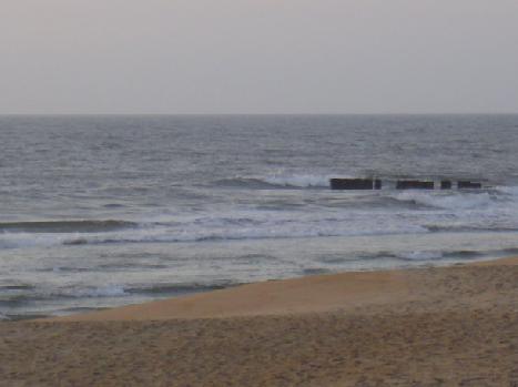
Nothing special